Communicating science
Inside the Department of the Interior
By Dan Mahoney
When College of the Atlantic Anne T. and Robert M. Bass Chair in Earth Systems and GeoScience Sarah Hall wanted to broaden her understanding of the relationships between science, policy, and environmental and human health, she landed on the federal government. Hall found that a mid-career fellowship was a way to use her “scientific expertise while gaining experience with federal-level policy and science to inform decisions about human health and public safety.” During 2015–2022, Hall and a cohort of COA students had been gathering local water quality data, which led them to wonder how all the water quality data would get translated into actionable steps for well owners and potentially, future policy. According to Hall, about half of Mainers and 80% of people in Hancock County rely on private wells for their drinking water and every single well has its own set of physical factors influencing it. These include the rock it’s in and its location on a hill or a depression, but there are also social factors affecting the water: Are there filters on the well, and how often is the water tested for contaminants? How do state and federal agencies decide when arsenic level in drinking water is too high? How might public communication and messaging at the county or the state level be improved to inform people making decisions at the local level? What opportunities exist to help residents or communities take action to mitigate poor water quality?
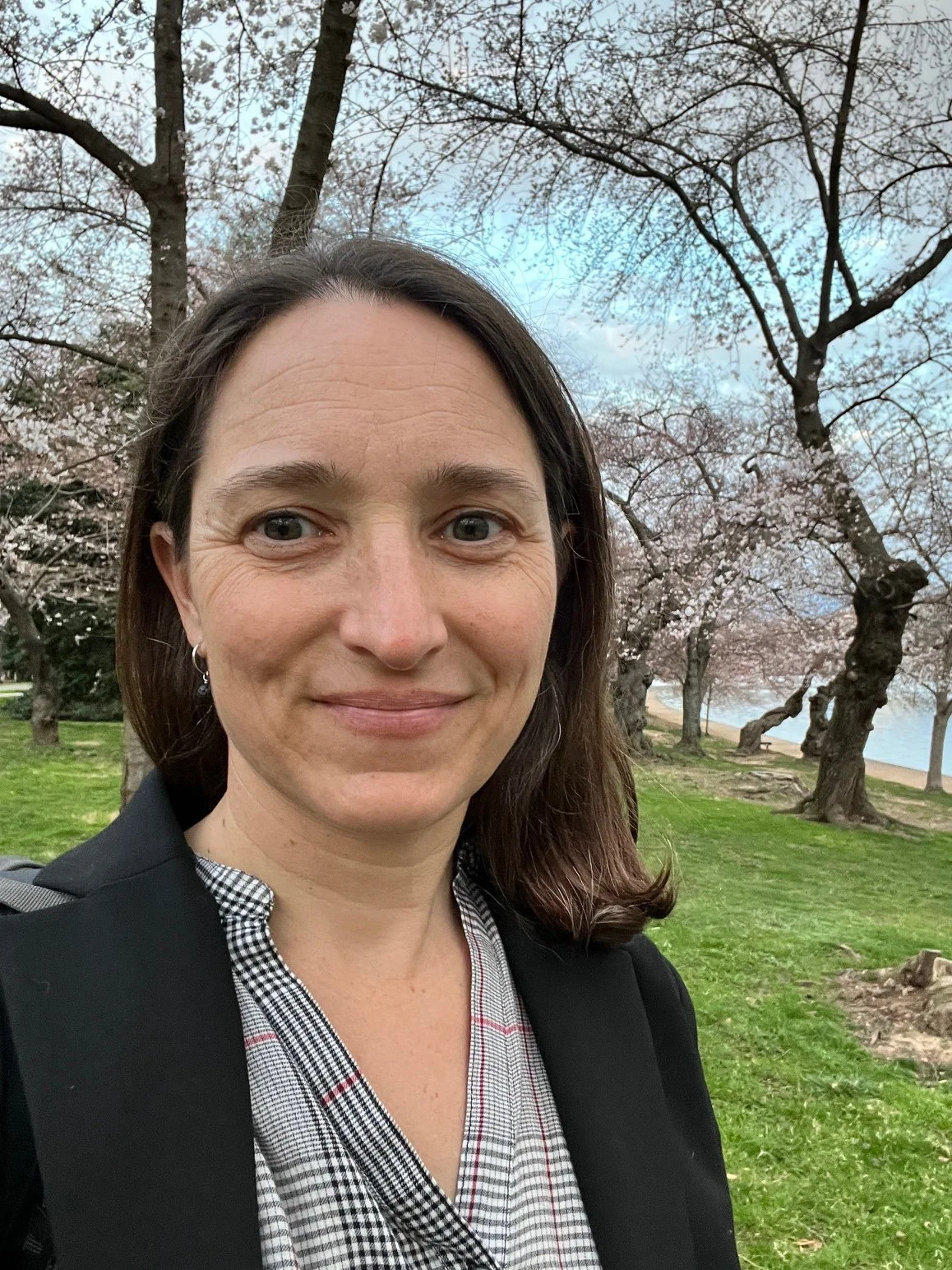
Sarah Hall
These questions, in part, led Hall to become a Science and Technology Policy Fellow in Washington, DC from 2023-2025. The fellowships are sponsored through the American Association for the Advancement of Science—the organization that publishes Science magazine—and place PhD scientists in federal government jobs, mostly based in DC. Hall found a place at the United States Geological Survey (USGS), a bureau within the Department of the Interior, which is housed within the executive branch of the federal government.
One role Hall assumed upon arriving at the USGS was the Executive Secretariat for the Science for Disaster Reduction (SDR) Interagency Working Group. This title, she says, is “a fancy name for the person who organizes virtual meetings; but it was fantastic because it was for a group that includes representatives from many different executive branch agencies,” providing a window into operations across the federal “interagency.” Hall organized the monthly meetings, coordinated with presenters, and planned future activities with SDR co-chairs including the Director of the USGS. In addition to meeting people with many different areas of expertise working in federal agencies, she also learned how different parts of the government work together through a disaster response.
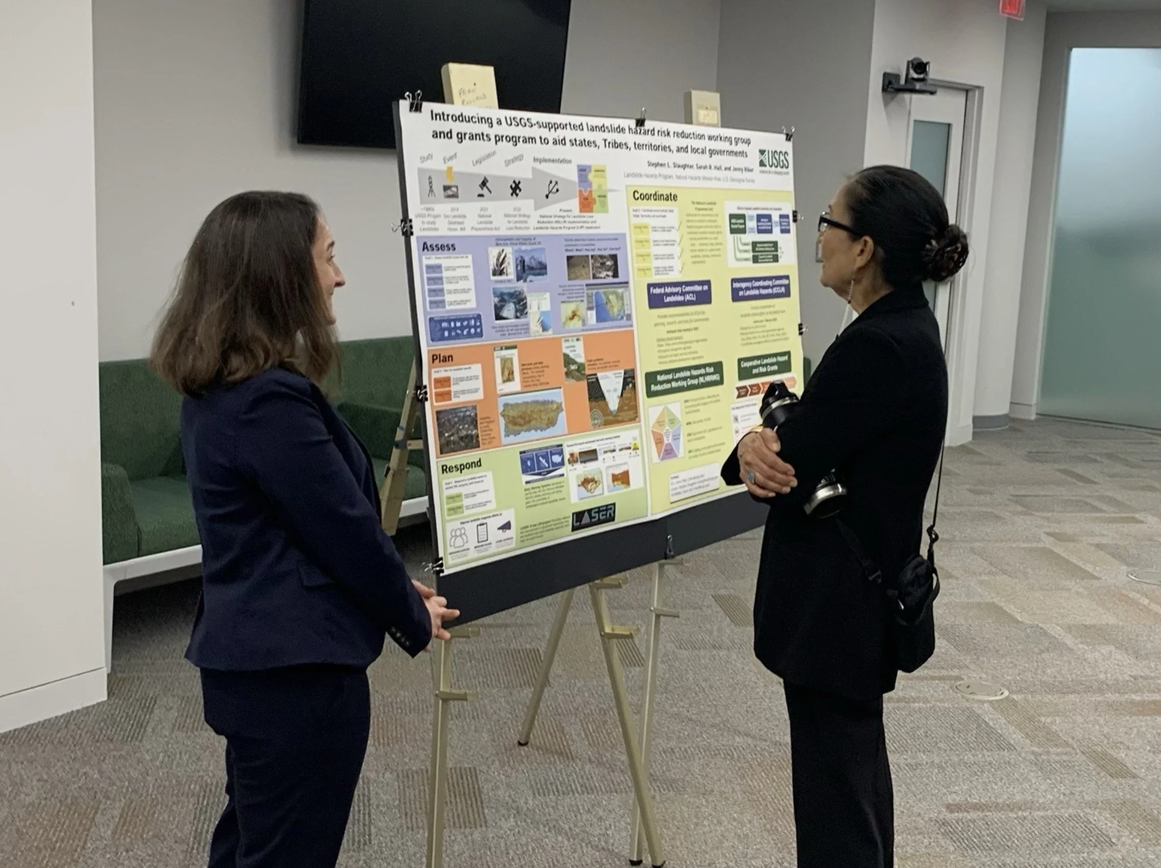
This early experience in the fellowship taught Hall some key skills she was able to translate, right away, into the development of the National Landslide Hazard Risk Reduction Working Group. This is a “national-scale community of professionals working on landslide hazard risk reduction. While the idea for it was articulated in the 2022 USGS National Strategy for Landslide Loss Reduction, it was my job to create it and manage it. Working with colleagues in the USGS Landslide Hazards Program and the Office of Risk and Resilience, as well as many professionals working throughout the US, I set it up during 2024 and launched it in November 2024. I still run the monthly virtual meetings typically attended by ~70 professionals from across the country.” According to Hall, “we have approximately 200 people on the Listserv. In its initial year, members launched eight subgroups focused on specific issues or regions. It’s a really active community and the deliverable of the fellowship experience that I’m most proud of.”
While in DC, Hall’s work focused mainly on implementing aspects of the National Landslide Preparedness Act (2021). A lot of data is being collected across the country, much of it at the state and local level and by community members who know the landscape. Congress appropriated a million dollars during FY24 and FY25 to distribute through grants to help communities do this work. Local, state, Tribal, and territorial governments were able to apply for grants of up to $250,000 distributed by the USGS Landslide Hazard Program. Hall helped prepare the grant program and publicized the grant opportunity through engagement groups, regional partnerships, and conferences. A panel of experts reviewed the proposals and with their feedback, Hall and her USGS colleagues were tasked with choosing which grants to actually fund. “As someone who writes a lot of grants, it was a great learning process to be on the grant manager side of the equation,” noted Hall.
After Hurricane Fiona struck Puerto Rico in 2023, Congress allocated $3.7 million for disaster supplemental response work. The USGS Landslide Hazard Program Office team was to distribute the funds through cooperative agreements with local professionals in Puerto Rico working on response and recovery activities. Hall’s job was to “find people to do projects with that would both help with recovery from the current landslide event but to also prepare for the next one.” Building on existing relationships with USGS scientists, she facilitated the development of projects with social scientists, planners, and geoscientists at two University of Puerto Rico (UPR) campuses, Rio Piedras and Mayagüez. One in particular, the Puerto Rico Landslide Hazards Mitigation Office (PRLHMO), run out of the geology department at UPR Mayagüez, was already working with USGS scientists to establish a soil moisture monitoring network through Puerto Rico to inform landslide forecasting efforts. Building on this, Hall facilitated the implementation of the LandslideReady Community Engagement Program run by PRLHMO scientists, students, and staff. The team engaged with emergency management offices throughout Puerto Rico and got folks thinking about simple, actionable tasks like how to make evacuation plans and where to store emergency vehicles. They raised awareness about the soil monitoring stations across Puerto Rico, noting that when soil saturation is above a certain point, landslides are more likely.
There are many fine scientists working with LandslideReady but the one who has made the deepest impression on Hall is the primary investigator on the project, Dr. Stephen Hughes.
Hughes is demonstrating how to do fantastic science that is both top-notch research and applied community-focused work, while also being a caring/concerned neighbor/resident that can communicate effectively with many different people. This speaks directly to Hall’s work on well water quality and seeking to turn science into actions. According to Hall, “It’s not so much that Hughes can communicate with everyone, but that he finds the people who are respected in communities, builds relationships with them, and learns to communicate with them.” This has really been an inspiration for Hall.
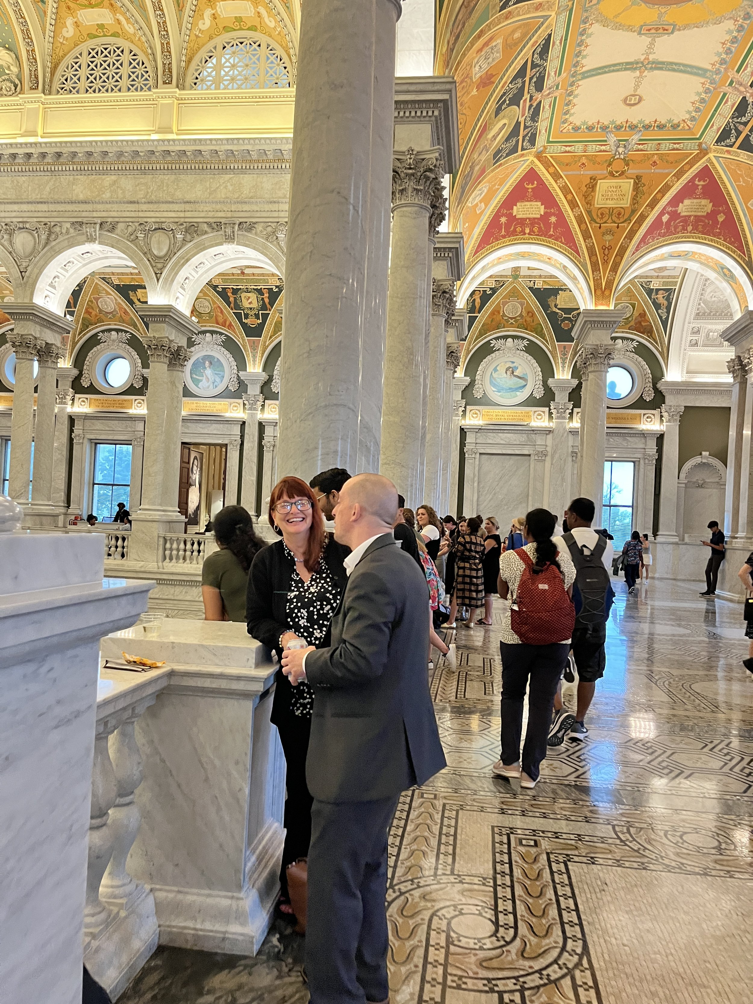
While she deeply missed the forests, lakes, friends, and colleagues in Maine, working in DC brought its own set of opportunities. Hall had the great privilege to meet former Secretary of the Interior Deb Haaland and both Maine Senators. She was active in the Geological Society of Washington and attended some congressional committee meetings in person. “I lived in Arlington and was able to easily get to all sorts of museums in the DC area. The many bike paths made the green spaces of the city accessible. In Arlington you could stand at Gravely Point and watch planes pass just overhead as they take off or land at National Airport. The Library of Congress has a happy hour event and is open late every Thursday night and you can just wander—with or without beverage—through all the beautiful spaces and collections in those buildings.”
In the end, it was a deeply human-ecological journey for Hall. “I think there’s science that informs policy and then there’s policy that can enable science. And they’re fluid… All of this involves a lot of translating and communicating across structures and systems that make it really slow, so you need to be flexible and enjoy small victories when they happen.” For Hall, working with a diverse group of people who had different expertise and modes of communication was more refreshing than difficult. “I loved working like we knew what the goal was and we were focused on it and the associated activities… There was a great connection between basic and applied research.” Hall wants to continue working on the regional and local scale, she calls it the “sweet spot,” the place where stuff gets done. Looking at the current political and scientific landscape, Hall remarks that “messaging and communication are just so, so important for observation-based and science-informed decision making.”
Currently, Hall serves as an affiliate to the USGS, contributing to management of the working group and continuing efforts with colleagues in the USGS Office of Risk and Resilience to document losses due to landslides each year. Her job is to focus on losses within national parks and she already has COA work-study students contributing to the effort. She hopes to expand the project to offer research opportunities to students in the future.